Absalom, Walk
Wednesday, July 29, 2020
Phase 1: Davidson Mesa
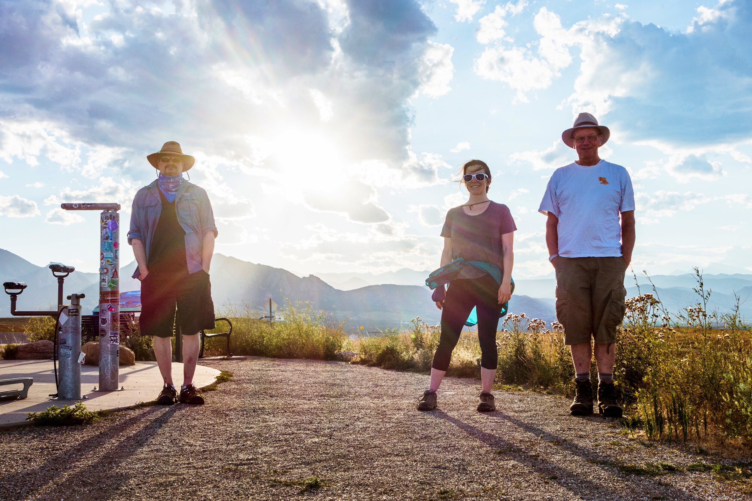
The weekly festivities commenced this evening as C joined S and D for a walk around the pleasant paths of Davidson Mesa. The parking lot was fully occupied, but somehow three spaces opened up just as our group arrived. Our intrepid explorers settled in, gathered their gear, and headed west along the trail.
At the halfway point, all agreed the journey had barely begun. So west again they went, and south, and west, and south, and finally arrived at the Scenic Overlook on Highway 36. There they paused for the traditional “summit photo,” and headed back northwest for the final leg of the adventure.
Phase 2: Oerman-Roche
Our gentle travelers returned to the parking lot at the end of Phase 1, and nobly relinquished their spots to the throngs just arriving. Phase 2 commenced at the mostly-vacant Oerman-Roche trailhead, with coolers, surplus sandwiches, and a few mosquitos here and there.
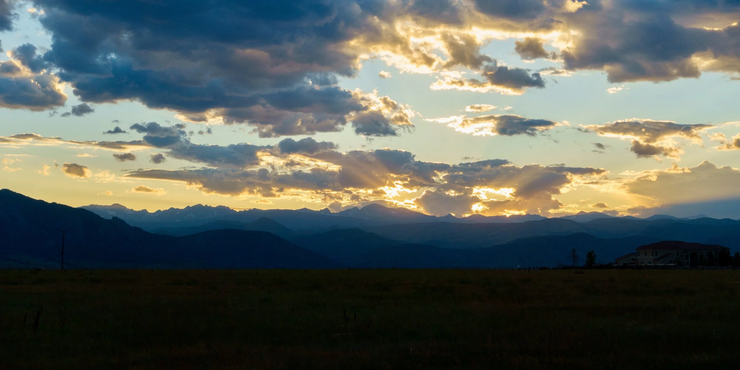
Phase 3: Sunset
Discussions of social distancing, poetry, and comets.
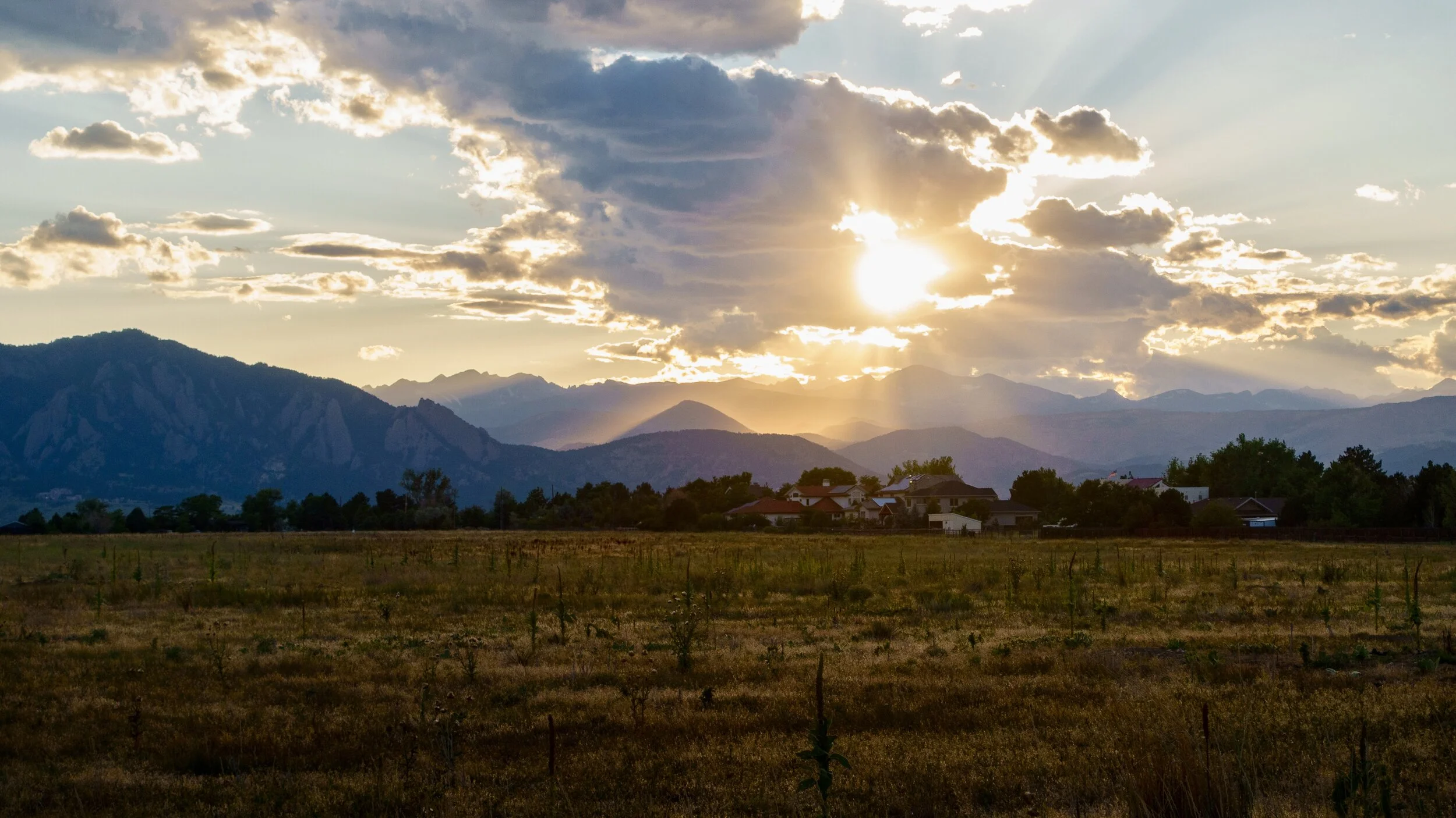
A light breeze arose, and the evening came to its reluctant conclusion. The intrepid trio each retired to their separate vehicles, and vanished around the bend.
Question of the Night
What is the eastern border of the city of Boulder?
Cherryvale Road. The Spanish Hills neighborhood, on the north edge of Davidson Mesa, is in Boulder County (not Boulder or Louisville).
Accolades
Be it hereby noted that C is awarded the honorary “five year participant” BNO medal of honor. Her inaugural Wednesday night trek was Green Mountain West Ridge, June 10, 2015. Though this auspicious event lacked a blog entry, we nonetheless have photographic evidence. Therefore we have added a blog entry to commemorate C’s inaugural BNO adventure, which you can read here: Two to Three.